
File:Kenya relief location map.jpg

Size o this luikower: 545 × 600 pixels. Ither resolutions: 218 × 240 pixels | 436 × 480 pixels | 1,000 × 1,100 pixels.
Oreeginal file (1,000 × 1,100 pixels, file size: 860 KB, MIME type: image/jpeg)
Ootline
| Descreeption |
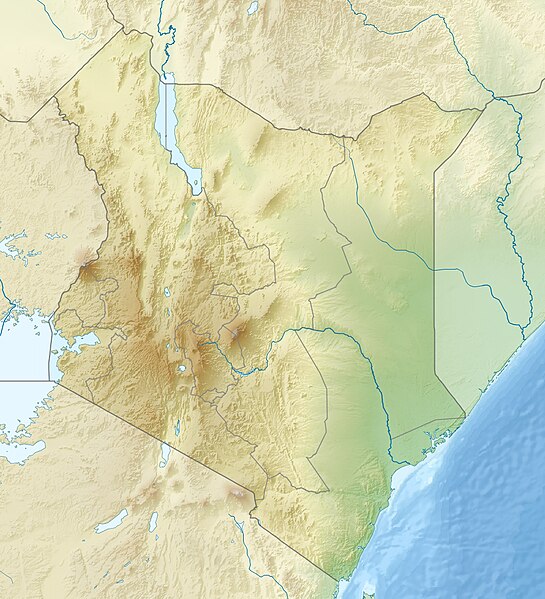
English: Location map of Kenya
Equirectangular projection. Strechted by 100.0%. Geographic limits of the map:
|
| Date | |
| Soorce | Ain wirk |
| Author | Uwe Dedering |
| Other versions |
|

Licensin
I, the copyright holder of this work, hereby publish it under the following licenses:
This file is licensed unner the Creative Commons Attribution-Share Alike 3.0 Unported license.
- Ye are free:
- tae share – tae copy, distribute an transmit the wirk
- tae remix – tae adapt the wirk
- Unner the follaein condeetions:
- attribution – Ye must attribute the wirk in the manner specified bi the author or licensor (but nae in ony way that suggests that thay endorse ye or yer uise o the wirk).
- share alik – If ye alter, transform, or big upon this wirk, ye mey distribute the resultin wirk anly unner the same or seemilar license tae this ane.

|
Permission is grantit tae copy, distribute an/or modify this document unner the terms o the GNU Free Documentation License, Version 1.2 or ony later version published bi the Free Software Foundation; wi no Invariant Sections, no Front-Cover Texts, an no Back-Cover Texts. A copy o the license is includit in the section enteetled GNU Free Documentation License. |
Ye mey select the license o yer choice.
File history
Clap oan ae date/time fer tae see the file aes it kithed at that time.
| Date/Time | Thummnail | Dimensions | Uiser | Comment | |
|---|---|---|---|---|---|
| current | 11:41, 24 Apryle 2010 | | 1,000 × 1,100 (860 KB) | Uwe Dedering | {{Information |Description={{en|1=|Location map of Kenya Equirectangular projection. Strechted by 100.0%. Geographic limits of the map: * N: 6.0° N * S: -5.0° N * W: 33.0° E * E: 43.0° E Made with Natural Earth. Free vector and raster map data @ natur |
Eimage airtins
The follaein pages airts tae this image:
Global file uisage
The follaein ither wikis uise this file:
- Uisage on als.wikipedia.org
- Uisage on ar.wikipedia.org
- Uisage on arz.wikipedia.org
- Uisage on azb.wikipedia.org
- Uisage on az.wikipedia.org
- Uisage on ban.wikipedia.org
- Uisage on ba.wikipedia.org
- Uisage on be.wikipedia.org
- Uisage on bg.wikipedia.org
- Масай Мара
- Найроби
- Момбаса
- Шаблон:ПК Кения
- Уаджир
- Елгон
- Кения (планина)
- Сусва
- Лонгонот (вулкан)
- Мененгай
- Рума (национален парк)
- Ндере (национален парк)
- Блато Сайва (национален парк)
- Баринго
- Найваша (езеро)
- Магади (езеро, Кения)
- Богория (езеро)
- Черангани
- Абърдеър (планина)
- Елментейта
- Камнарок
- Логипи (езеро)
- Пака (вулкан)
- Накуру (град)
View mair global usage o this file.